
From glaciers to the Po in a hundred and fifty kilometres
The lakes are holes left by the ice, and the plain is made of what the glaciers carried down.
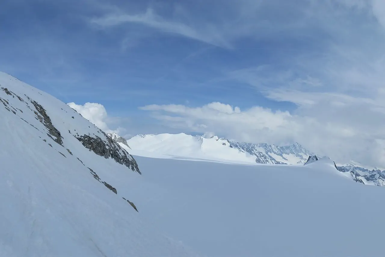
The whole Lombard landscape comes from ice. During the glaciations the tongues coming down from the Alps dug the valleys and closed them off with moraine amphitheatres: the lakes sit inside those hollows, and the plain is made of the debris the meltwater spread further south. Even the line of hills around Garda and the Franciacorta is material a glacier left behind.
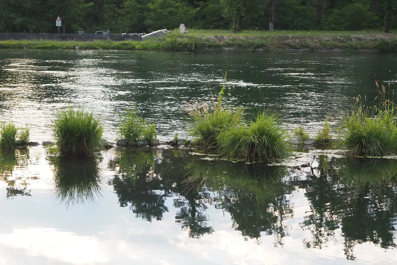
The lakes
Garda is the largest Italian lake, three hundred and seventy square kilometres, and the Lombard part is the western, Brescia shore. Maggiore is shared with Piedmont and Switzerland; Como is the deepest, over four hundred metres, and shaped like an upturned Y; Iseo has Monte Isola in the middle, the largest lake island in Europe. Idro is the smallest and the highest.
The plain and its water
The Lombard plain is not simply flat: it is the part of Europe with the most fresh water managed by hand. There are the springs, the line where water returns to the surface and where the towns grew up; there are the navigli, thirteenth-century canals dug to irrigate and to carry the marble for the Duomo; and there is the Po, marking the southern boundary for three hundred and seventy kilometres.
The Alps
To the north the region reaches four thousand metres in the Bernina group, and has two great parks: the Stelvio, shared with Trentino and South Tyrol, and the Adamello, with the largest glacier in the Italian Alps. Between them run the long valleys: Valtellina, Valcamonica, Valchiavenna, and the valleys above Bergamo and Brescia.